Tuesday, September 12, 2006
NoDak: Nowherest
 On west. The rain lets up. US 2 continues its pace west past little towns and littler towns and empty towns.
North Dakota gets dissed by the mapmakers. A state 340 miles across and 211 top to bottom, it gets one page in Rand McNally - the same as 40 x 30 Rhode Island. Ohio, 220 miles in each direction, gets four pages. As a practical matter, this makes sense, because there aren't that many roads and towns to fit on the page. As a practical matter, this means that no matter how fast the miles are going by, the inches take forever.
At the rest area where I didn't sleep, I looked at the official state map. It had a list of all the towns in the state, and next to all the towns it had a number, and the numbers were so small it took me a minute to realize they really were the population, and not in thousands:
 Abercrombie, 296
Adams, 203
Alamo, 51
Alexander, 217
Alice, 56
Almont, 89
Alsen, 68
Ambrose, 23
Amenia, 89
Amidon, 26
... and so on. Amidon is the seat of Slope County, so it's printed in red.
 It's not just that there are small towns in North Dakota; there are small towns everywhere. The nearest town to where I grew up had a population listed at 200. It had a church, a grocery store, a little post office, a school until they closed it, and a pizza shop until it got busted for drug trafficking. And a cemetery, of course. So I know from small towns. But we always had Delaware, ten minutes away, and Columbus, half an hour south; no matter how nowhere Kilbourne was, it was on the periphery of somewhere.
There are about 150 towns listed on the North Dakota map, and I count 8 of them in the five digits, against 100 or so in the three digits or less.
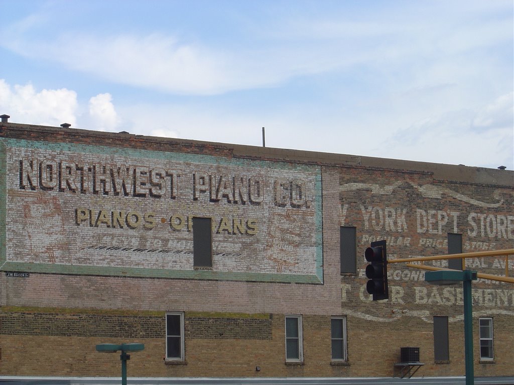 US 2 does take me to one of the big towns this morning, Minot, which is a university town and home of the state fair and a major crossroads in these parts. There's a railroad museum, closed 'til Monday, and an art museum, which is open but occupied by people setting up for a wedding party. There's a Starbucks, and another coffee place where the internet is free, and a decent sized mall, which I gather is the only mall this side of Grand Forks. It's not a bad place, but there's not much nonsense about it. It looks like a town where work is hard, and people might be suspicious of any sort of work that's not hard.
I keep going. The road sign reads "Kenmare 49; Williston 126." Kenmare, which is up US 52 and not on my route, checks in at a population of 1,081 - and it's the only town they can find to keep Williston company on the sign.
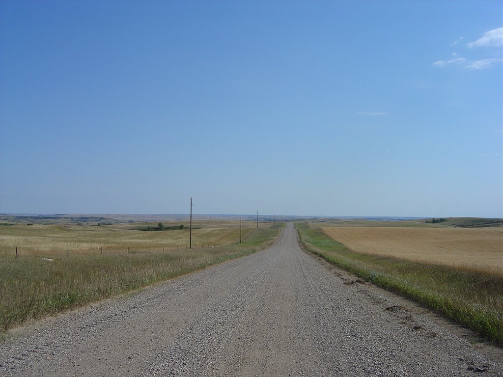
 I stop at a rest area to eat lunch. Prairie dogs watch me drive up. There's a man sitting in his car looking for someone to take his wheel so he can get to Minot; he's diabetic and found himself getting dizzy on the road. Somewhere west of there I turn down a gravel road so I can get to Lewis and Clark State Park, where I'm thinking I might camp.
After a couple miles, I pull to the top of a rise. You can see for miles in any direction. There's no one in sight. There's no other road in sight. The only signs of human existence are a couple of oil wells and a barn or two and the gravel road. The wind is blowing. As far as I can tell, I'm the only person in the world.
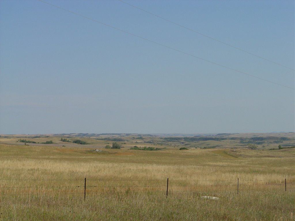
You might never go there, so this is what North Dakota looks like:
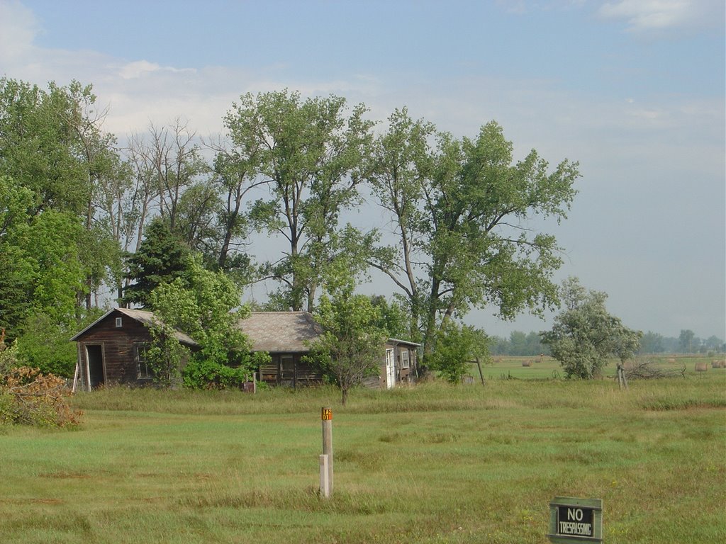
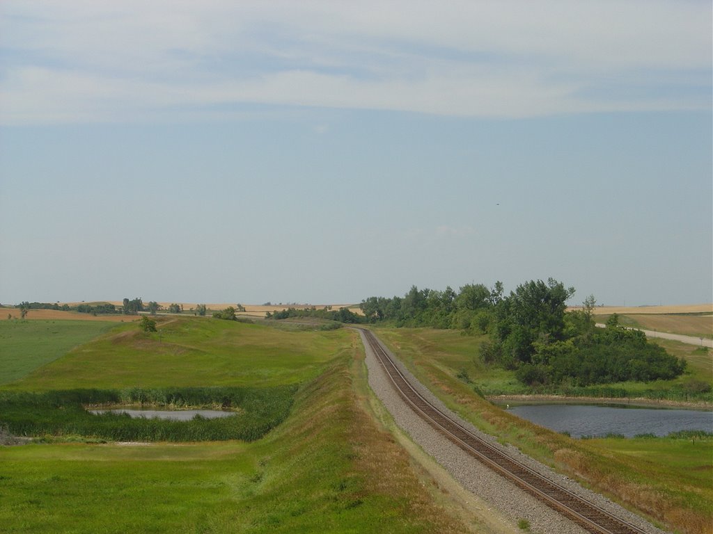

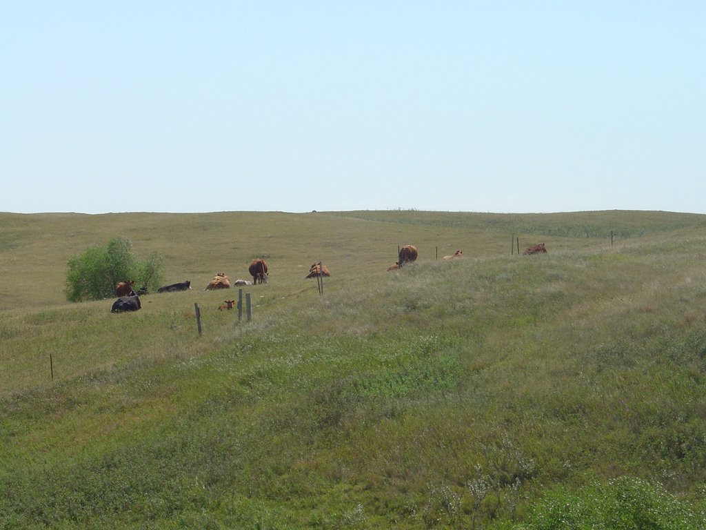


![]()