Sunday, August 13, 2006
Montana: Bear Paw
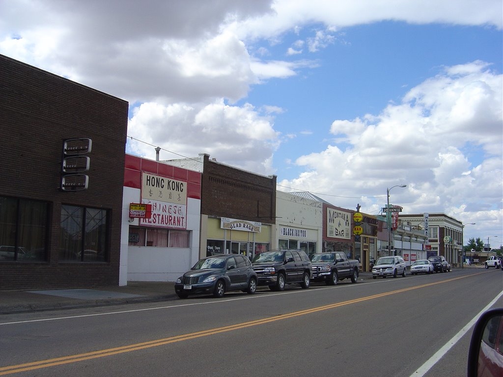 There's not much else to Glasgow, and not much happening on a Sunday afternoon. It looks a little bit like a town in a movie where everyone's mysteriously died. The guy down the counter, who works for the BNSF, says he wishes the Chinese restaurant would reopen. Call me a snob, but the idea of Chinese food in Glasgow does not appeal to me. At least not at the Hong Kong Chinese Restaurant.
 Back on the road, afternoon sun in my face as I head toward the next little dot. The High Line climbs a little farther north. Thirty miles west at Hinsdale it crosses the Milk River, so named by the Lewis & Clark expedition for the color of its water. Another 15 miles west is Saco, and then Sleeping Buffalo, and on.
At Chinook there's one of those roadside interest signs describing the Battle of Bear Paw. I'm trying to make time, and after a week or so am fully ready to leave empty, windswept plains behind me, but I conclude that the Bear Paw Battlefield is someplace I really should go.
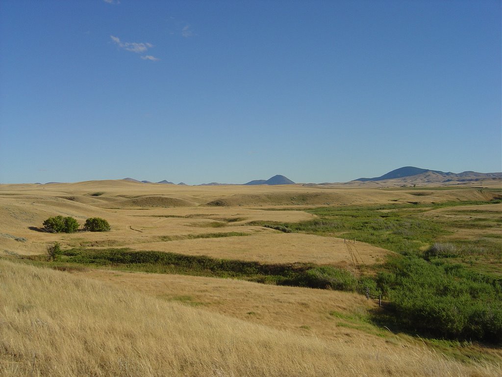 There are other places you can go to read about the story of the Nez Perce Trail and Chief Joseph's surrender. I don't know this part of my American history as well as I should, certainly not well enough to explain it to you here. The battlefield itself, about 15 miles south of the highway, is an empty place with just a parking lot and a few low monuments, and some numbered signs stuck in the ground that correspond to a printed guide you can take from a rack near the entrance. There are also signs warning against attacks from hawks if you get too close to their nests, and reminding you that "people died here" and asking you to be sensitive to that fact.
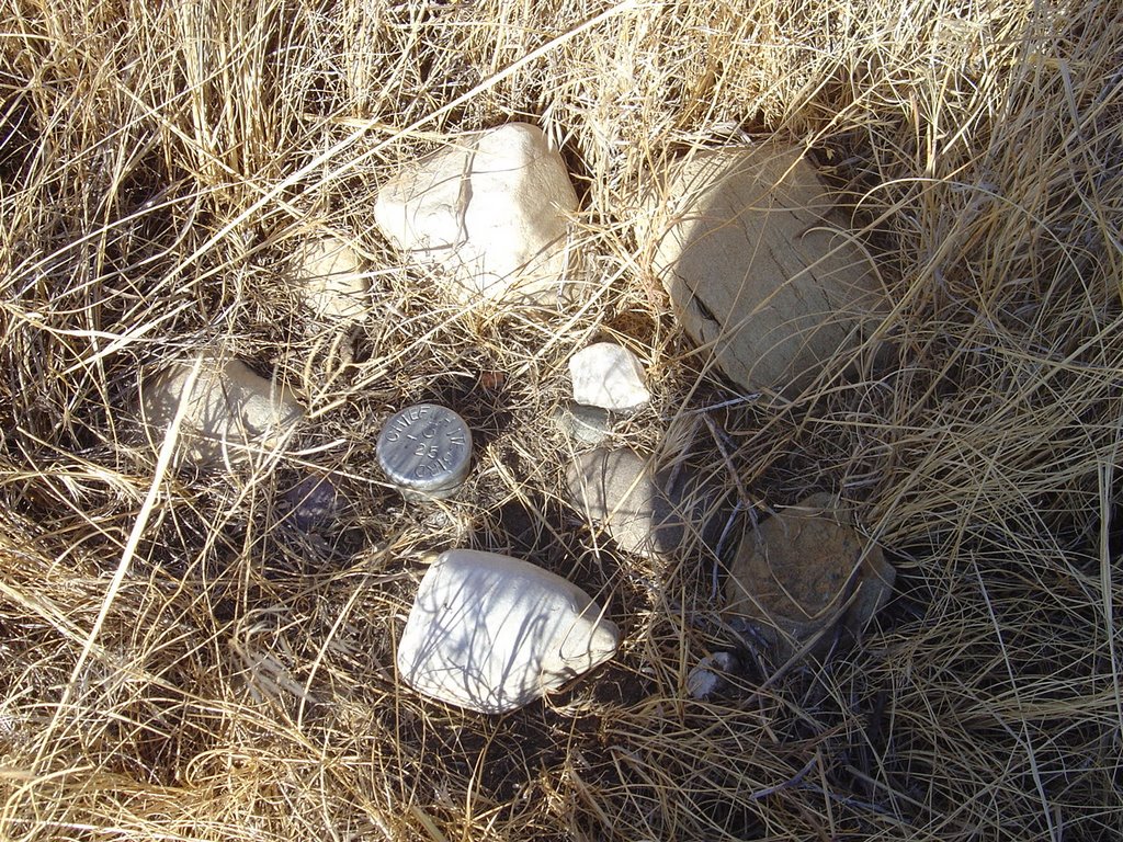 Metal stakes mark some of the significant spots on the battlefield, like the place where Chief White Bird made camp. At some of them - notably the place where Chief Joseph surrendered - people who came here before me have left little momentos of their visits - stones, ribbons, personal items, stuff that at first glance seems a little odd. I don't quite get it, but I'm not feeling like this is a place where I get to make the rules.
The sign directs you to look north, where you can see the mountains in Canada that these few people were trying to reach - were maybe two days ride away from, if they hadn't been so cold and tired and hungry and had realized that the invading army was right behind them.

 Incidentally, here's the sign that led me to Bear Paw Battlefield. It did it's job in my case, but it's awfully clumsy about it - "forked tongue" and all. And maybe this just reflects too much time spent deconstructing texts in Hyde Park, but that line about "one of the blackest records in our dealings with the Indians" says more than the sign-maker may have meant to. It's not just the implicit guilt, which would more properly and usefully be anger, in my opinion. 130 years later, that "our" says it's still the white people who are writing the history, and presumably reading the history, and the history writers are still according Indians something slightly less than actual existence.
![]()